Big Bend Trip July 2017
The Big Bend national park is nestled in at the border between Mexico and Texas in a remote area of the state. There are several interesting roads to get to and from the park and I’ve been thinking of going there for some time. The idea is to go to Fredericksburg, then south-west through the Texas hill country taking in the so called twisted sisters roads, then follow US 90 westwards and in to the Big Bend park.
July 2, 2017 Sugarland to Fredericksburg 378 km.
Started from home around 0730. Nice weather. Goal for today is Fredericksburg. Going via Austin.

At home in 4210 Lakecrest Dr with little Eva 18 months old.
Lyndon B Johnson historical park

President Johnson at the Texas White House


House where LBJ grew up.


View to the south from the LBJ ranch.
Fredericksburg

Home for the night.

German inspired dinner.
Fredericksburg to Comstock 370km
I’m looking forward to today’s ride. I will ride two the three ranch roads named the twisted sisters. These roads are famous in Texas and showcased in many motorcycle magazines as some of the best motorcycle roads in the country. I will then ride close to the Mexican border to go further west.

Today’s route.
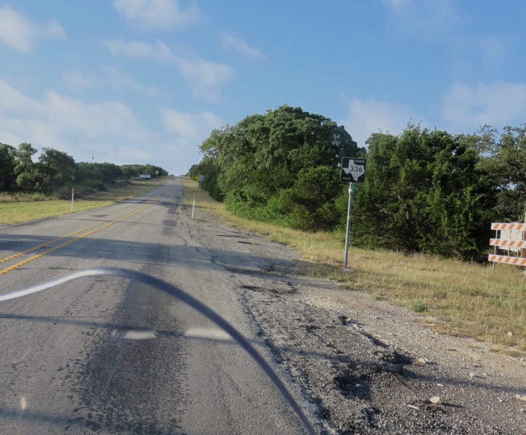
Start of ranch road 336 taking off from Texas 41.
In the magazines the twisted sisters are described as very difficult and you should not exceed the posted speed limits. However, I did not find the roads particularly difficult and you can easily go 10 or 20 mph faster without it feeling dangerous.
After ranch road 336 I took ranch road 337 in Leakey – the 2nd of the the three sisters.
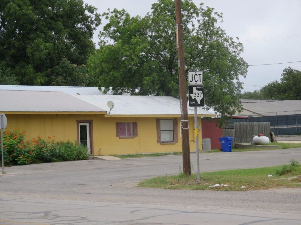
In Leakey at the start of ranch road 337.

Comfort break!

Nice ranch gate.

Comstock motel manager.

Parked in front of my room.

OK! Not the Ritz – but it will do.

Houses not in the best of shape.


Stopped in Comstock for the day. A motel along 90 close to the Mexican border. Pretty much in the middle of nowhere ????. There are no restaurants open I’m told but a petrol station where you can buy not sure what… Exciting!
However, the restaurant turned out to be open and I had a good dinner of chicken fried steak. Not bad! Chatted with some locals about living here. Comstock is a town of 300 people and the school caters from k1 to high school. For grocery shopping they go to Del Rio and the nearest big town is San Antonio about 3 hours drive. Amazon prime takes 3 to 4 days, which doesn’t seem so bad… A lot of the non retired locals work as border patrols. They thought the idea of building Trumps wall a waste of money and it wouldn’t work in this area with deep canyons along the border.
The temperature got to 38C in late afternoon… so blazing hot, but dry heat and today with a strong Breeze. So doesn’t feel so bad… In the restaurant they had two posters from my favorite bands playing in California in the 60’s and 80’s. Cool!
Comstock to Big Bend (356 km)
Today I will be riding west along US 90 to Marathon and then south to the Big Bend park. I made an early start and was on my way by 0730. The road goes very close to the Mexican border and there were many border patrols along the way, some parked on high ground looking through binoculars to the south.

US border patrol having a morning chat.

You often see signs like this along highways in the US.

Interesting geology.

Big train. Trains could be kilometer long. Apparently, the US has one of the most extensive goods railway tracks in the world and I saw a lot of trains during my journeys.
Along the roads in the US I see a lot of trains and it turns out that much more goods are transported by train in the US at 40% compared to Europe at 17%. Trucks in the US carries 33% while trucks in Europe carries 76%, all measured in tonne-distance. Interesting that USA often gets a bad wrap use more envirnmetally friendly transport solutions.

Stopped in Marathon for Petrol before turning south

Inside the petrol station diner

Big Bend national park
I reached the national park entrance before noon and spent what seems like a long time, going at 45mph, along a boring straight road to the Panther Junction visitor center. After understanding the lay of the land I set off for the last section of the day to reach the Chisos mountain lodge nestled in a valley below the tallest peaks of the park.

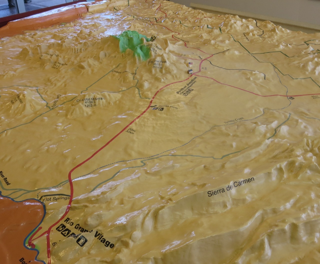
In the Panther Junction building – 3D model map showing the layout of the park. I will be staying in the green area among the peaks of the park.
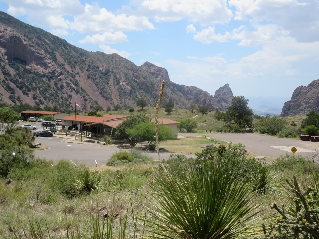
Chisos mountain lodge area.

Chisos mountain lodge cafeteria. Serving nice food and drink!
The last bit of road is almost like in the alps, switch backs with 180 degree turns. The lodge is at around 5000 ft altitude so a bit cooler but still very hot at 35C. After checking in at the Chisos mountain lodge I went to find my room which was nice with a balcony but no internet connection… Perhaps I should not expect wifi in a national park? However, later I found there is wifi at the main lodge…
After a well deserved rest I walked around and took some pictures, it really is a very beautiful area.


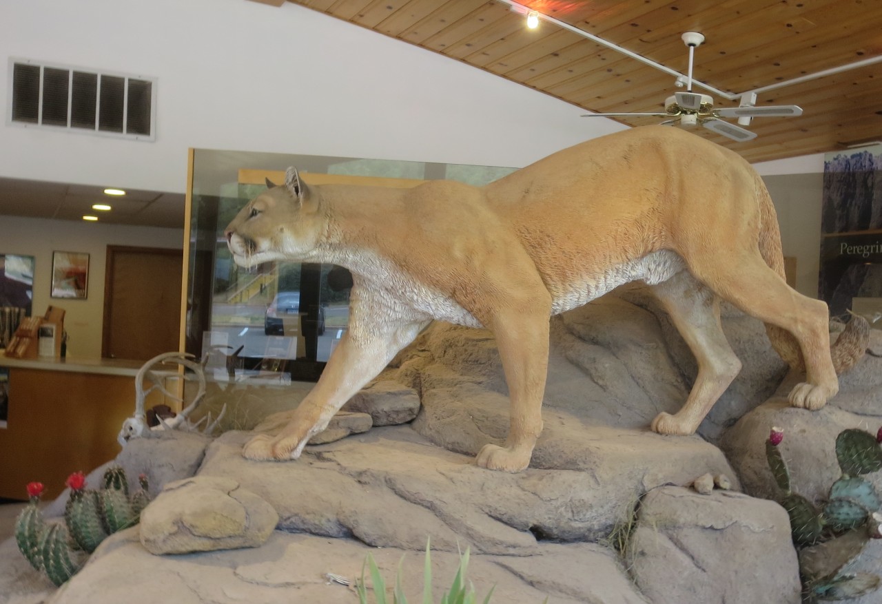
Mountain lion. They are surprisingly large animals.
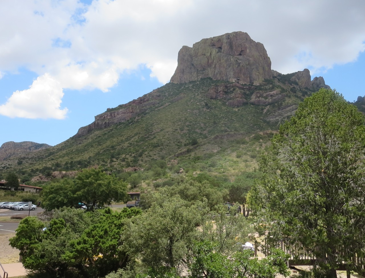
The tallest peak in Big Bend?

Prickly!

The man himself…
Before dinner I hiked the Chisos loop trail, around 3km with beautiful views over the surrounding mountains and the Chisos basin.
Bouquillas canyon (100 km return)
I’m staying two nights in Chisos and today I made an excursion to the Bouquillas canyon which separates Texas and Mexico with the Rio Grande river running through it.
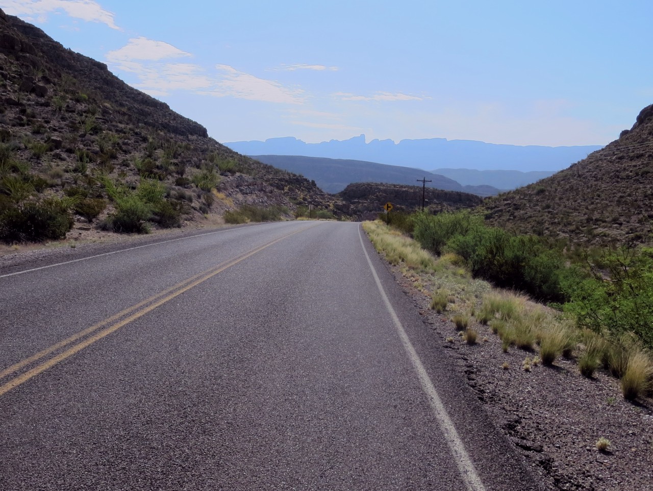
The road towards the Bouquillas canyon. Mexico in the background.


Rio Grande separating the US and Mexico. It’s not very grand or not very wide. Very easy to cross either way and I saw Mexican salesmen selling Mexican wares.
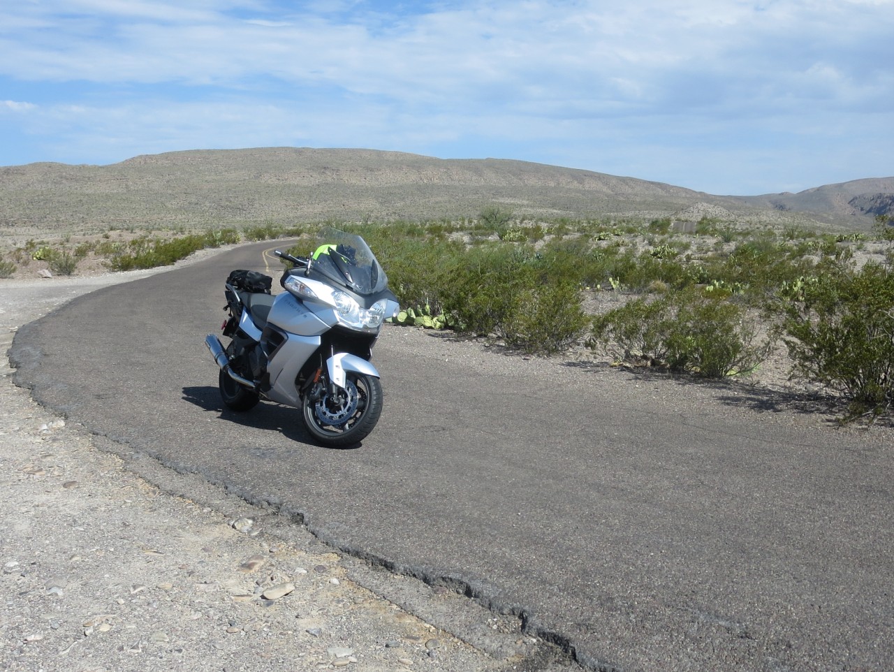
Grand views north over the Big Bend pasrk.

The Bouquillas Canyon. Dug out by the river over the millenias.


Very desert like.

Once back to my room I sat on my balcony as the sun was setting and getting some nice sunset pictures.

Big Bend to Carlsbad 594 km
I started early and took the western exit of Big Bend going towards Terlingua and then further along the Rio Grande to Presidio. Road TX 170 is designated an amazing road for motorcycles and it didn’t let me down! Numerous twisties and ups and downs made for very exciting riding. Mind you, at one point there was some stones on the road but I managed to avoid most of them… For a long while the road is just to the side of the Rio Grande, there is no fence and there were no border patrols to be seen along the whole stretch. Why is this? There are only two roads leading out of the area and there were road blocks where I had to show my credentials before being allowed to carry on, so perhaps the area is considered safe from people crossing the border?

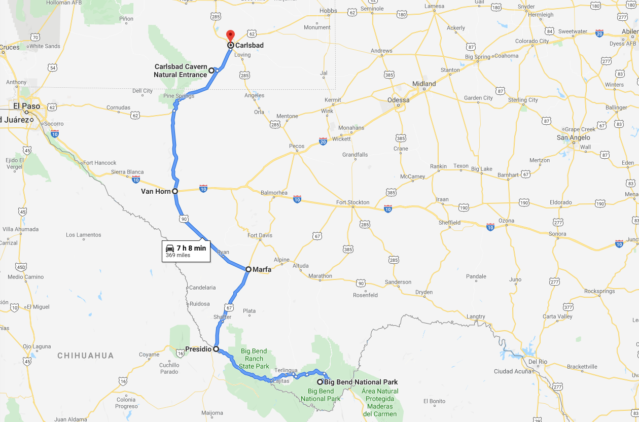
I stopped after a few hours in Presidio which is a border town with roads leading into Mexico. Filled gas and had some food. In the petrol kiosk I saw papers in both english and spanish so there must be a lot of cross-traffic between the two countries during the day.

Deserted petrol station in Presidio.
From Presidio I went north on road 67 which also seem to carry on in Mexico with the same number. The road to Marfa was great with fast sweepers and really good asphalt. There was, what looked like, a huge pipeline being built along the road, I assume to transport oil from the unconventionals being produced further north towards New Mexico, but not sure to where? It seems unlikely the pipeline would lead to Mexico, but where else?
I arrived in Marfa which is known as an arts hub, apparently an artist named Donald Judd started the Chinati Foundation, which displays huge indoor and outdoor installations on an old military base. I guess I should have stopped here for lunch rather than carrying on to Van Horn along US 90 where I had lunch in a boring roadside chain restaurent. Oh well.
After lunch I crossed I10 and carried on north along Texas 54 before hitting US 62 which climbs the Guadalupe mountains in to New Mexico. US 62 is a beautiful wide road going up the incline in fast sweepers – great for a motorcycle!

Carlsbad Caverns

I stopped at Carlsbad Caverns to descend into the darkness and 13C environment. I took the lift down and walked around the giant cavern for a couple of hours. It’s beautifully done with an asphalt path and subdued lighting. The pictures don’t do the experience justice….


The queue to go up the lift was one hour so instead of waiting I walked the 2km and 270m ascend path to the surface. It took me about half an hour, I felt pretty good that I could do it in a relatively good time…

Asphalt trail leading from the caverns 270m underground. It was sweaty work, but worth it walking the 2km path!
After climbing up the path I got my riding gear on and continued to Carlsbad where I found a room at a Day’s Inn. There were a lot of tourists and most hotels were full and the cost of my room was $170! Outrageous:-)
Carlsbad to Missouri City 1042 km
I’m not sure if I can make it all the way home today, I guess I will go until I’m tired… I’ll start the trip by going on US 285 through the Permian basin unconventional oil extraction area, through Pecos and on to I10 at Fort Stockton.

The road past the Permian basin was very busy with big trucks going in both directions. I assume carrying ingredients used in the fracturing of the oil bearing shales as well as the extracted oil. It was very interesting to see all the activity in the area – which with other shale areas have made the US a net exporter of oil during the past 5-10 years. It is talked about as the shale revolution! Unfortunately for us in the seismic business there is no or very little seismic used to locate the oil bearing shales before drilling. 🙁

Permian basin area.

Lots of traffic and activity in the Permian basin area straddling New Mexico and Texas.


After the excitement of the Permian basin activity I rode through Pecos and onwards to Fort Stockton for fuel and food before getting on the I10 for the treck back to Houston and home.
Big Bend in July?! You’re a better rider than I am. 😀
I doubt it! It was hot but once on the bike at speed the heat is quite manageable.