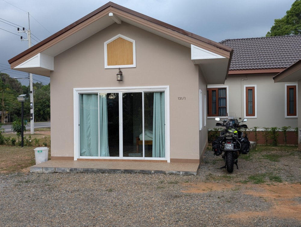
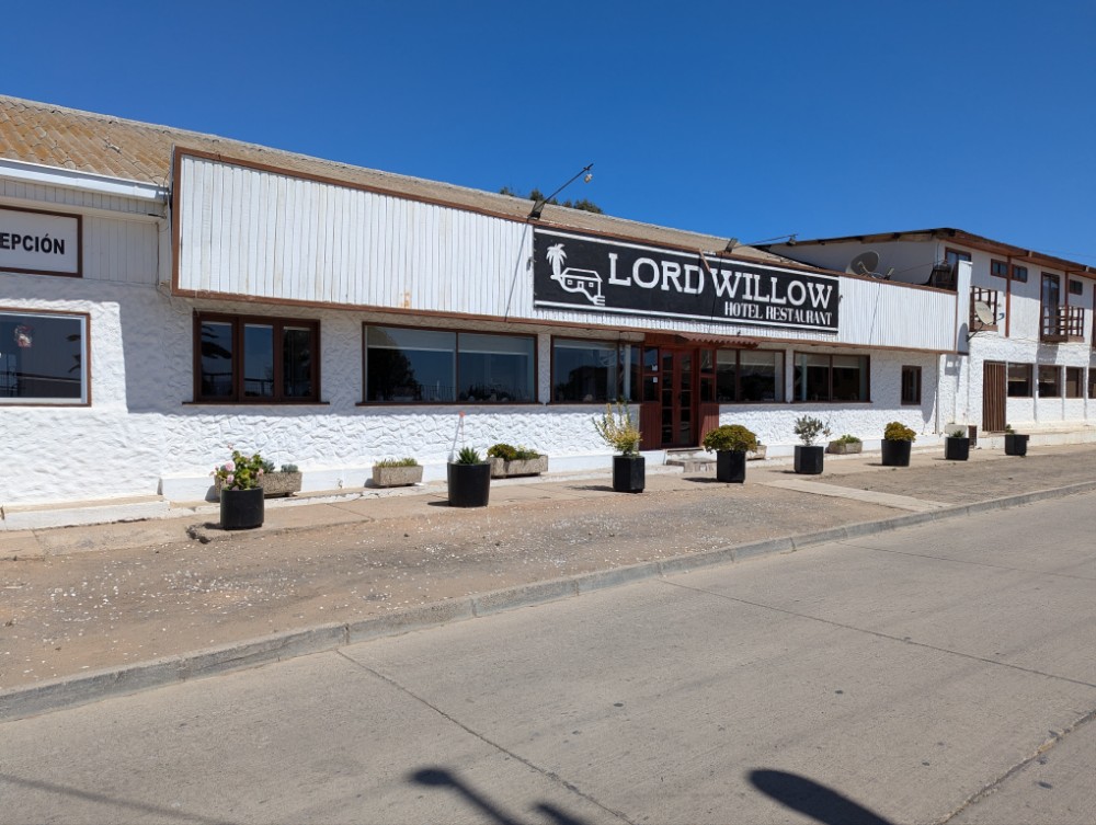
Baan Phii Resort
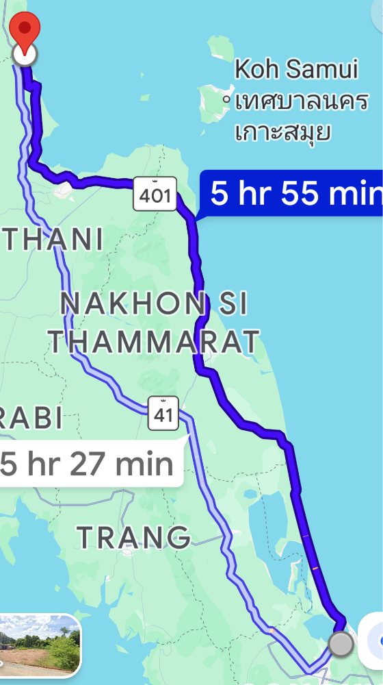
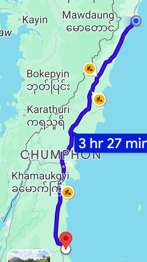
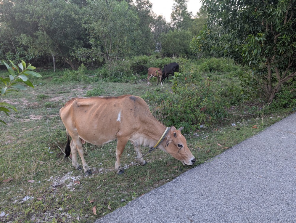
Today is the seventh day of my trip and I’m leaving the posh Laguna Grand hotel for a day on the road and a more humble accommodation. The ride today is 400 kms and I will ride northward, first on the east side of the hornish looking area north of Songkhla along road 401 before hitting the main nortgoing highway, road 41. The morning is quite nice with a cooling breeze from the ocean but later on it gets really hot.
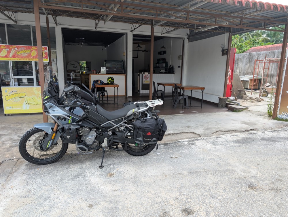
I notice that the check engine light of the motorcycle has come on.. After checking everything I can’t find anything wrong and the bike sounds and rides like normal so I decide to ignore it and carry on. There are so many sensors on any engine these days and if one is failing it’s typically not serious. I hope. 🙄😔
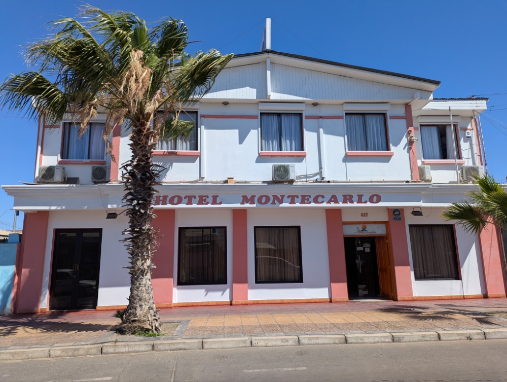
I arrive at tonight’s lodging right after 2 pm and the landlady shows me the room and informs me dinner is served at 6pm.
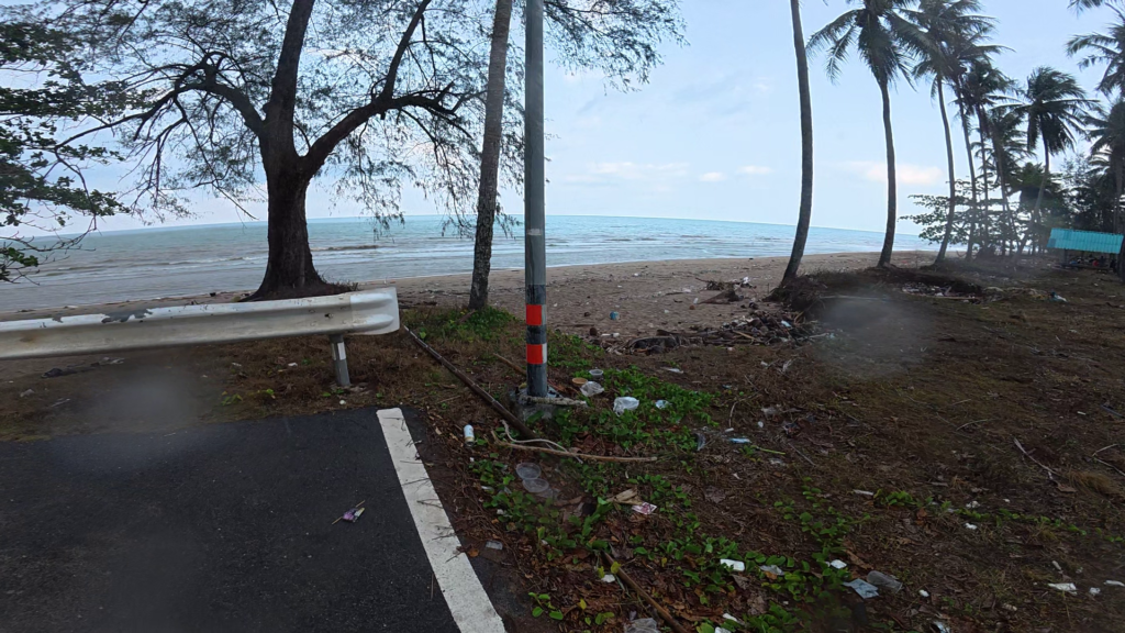
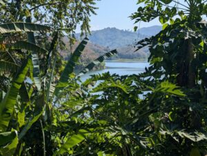
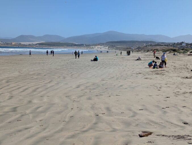
After the usual unpacking I go for a walk to the beach, about 300 meters away. When I get there I find it to be horrible, so much trash, empty plastic bottles etc. Discouraged I walk back to my cabin.
At 6pm the landlady’s daughter informs me that dinner is ready and I make my way to the dining area. I’m served noodle soup with fishballs, not fantastically delicious, but it does the trick and I feel full.
As I finish the soup the landlady gives me a tube of cream, she has noticed my skin problems and somehow managed to get me this tube while I was eating. I feel very touched and thank her profusely.
The bed in the cabin is rock hard and I fear I won’t sleep much, I’m too used to a comfortable bed with nice springs and good support. However, I manage to get a good night’s sleep and at 7 am I’m given a bag with two nice sandwiches for breakfast!
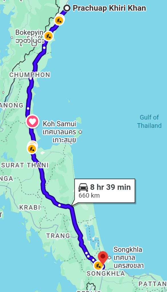
Prachuap Khiri Khan
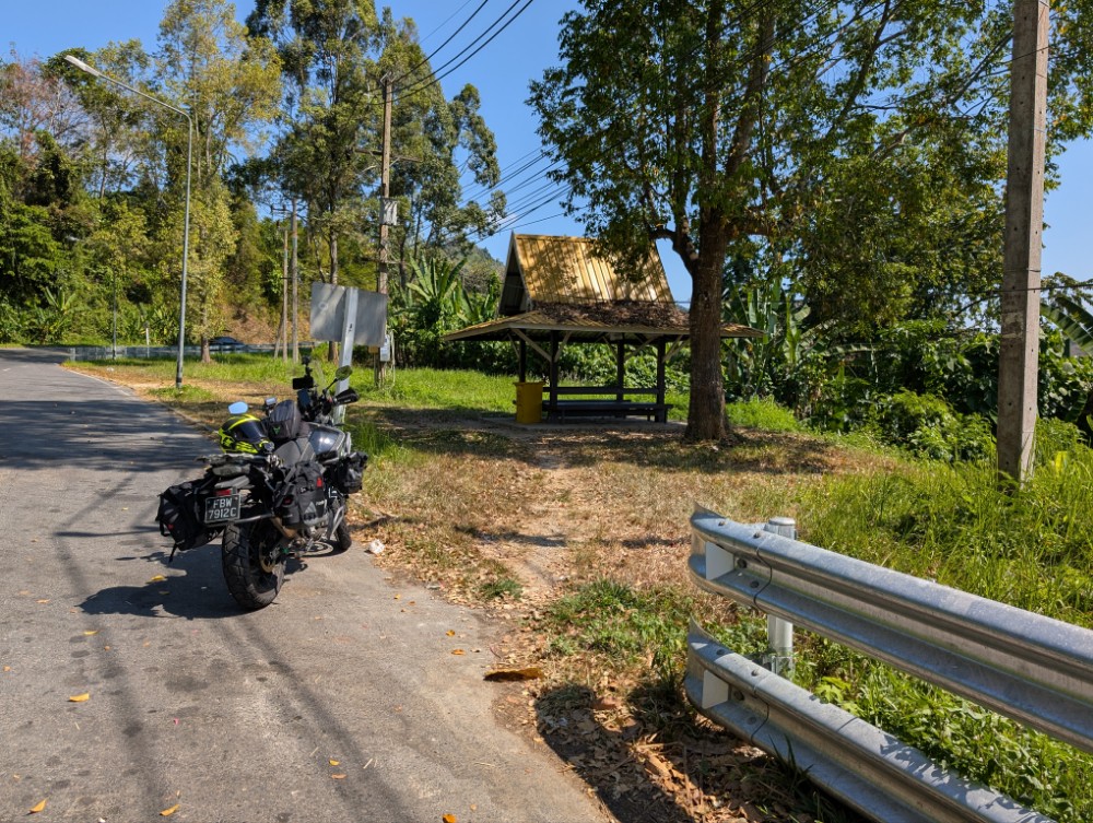
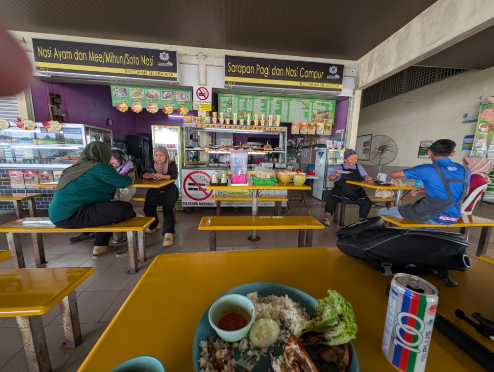
Some nice small roads take me through small villages before hitting the main northgoing road. I stop to get fuel and coffee at the Amazon café that seems to be present at every PTT petrol station.
As I’m ordering a British man starts talking to me and he explains he is really keen to have a conversation since he doesn’t get the chance to speak much English. As it turns out we have a lot in common… He lived in East Grinstead and worked in Crawley at the Manor royal industrial estate (both in West Sussex, England) during his career, and, unbelievably, so did I! What’s the chance of that?! His name is Roy and he now lives in Thailand… Amazing, the happenings on a road trip!
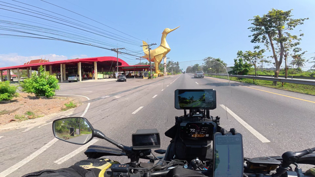
Along the way as I get close to Khiri Khan there is a golden bird stretching its beak over the road. I came up this road many years ago and the bird was there at that time as well, but I think they must have refurbished it because it looks so pristine now.
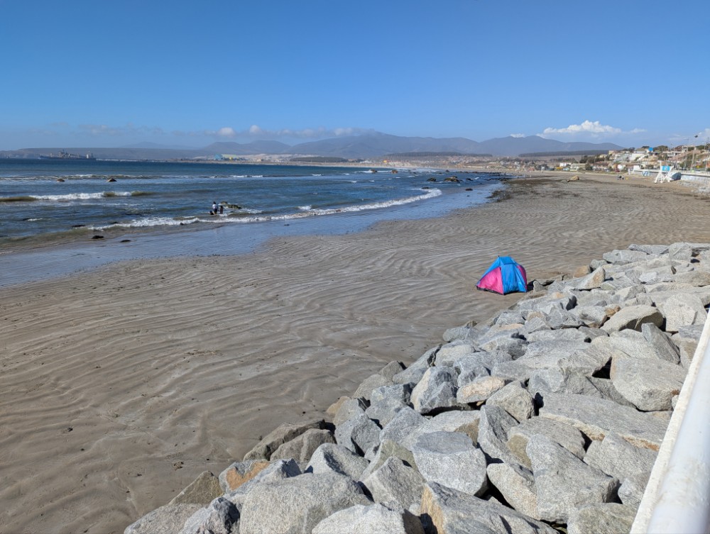
I arrive at Khiri Khan early afternoon and find the hotel I’ve stayed in several times before. It’s right by the sea and I can hear the waves from my room. Soo relaxing.
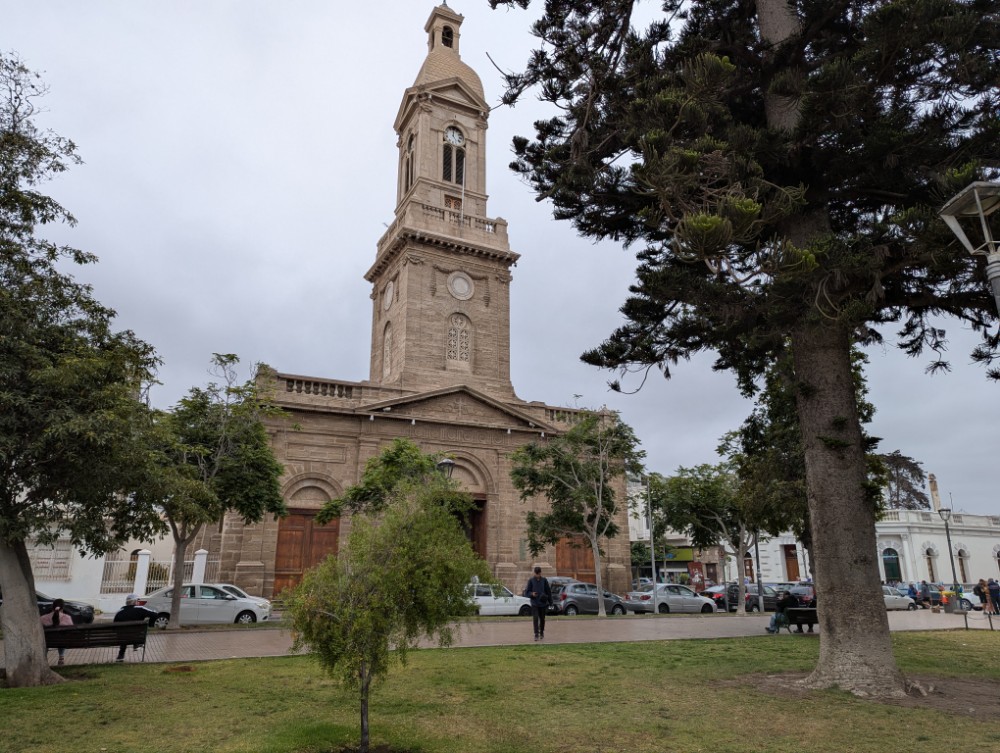
Khiri Khan is a small town about 100 km south of the much more touristy Hua Hin, its got a 3 km strand promenade with scenic views towards small islands. It’s at the narrowest land part of Thailand which is only 13 kms between the sea and Myanmar.
Sure, there are tourists in Khiri Khan and there are several hotels but it still gives the feeling of a local Thai town. Not far from my hotel there are several nice cafes serving lattes so you never need to go without your daily caffeine shots.
The 2nd day I walked the 3 kms to the northern end of town and climbed the steps up to the Buddhist temple.
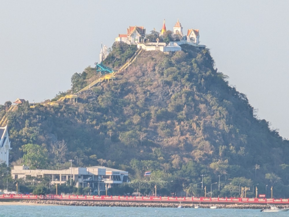
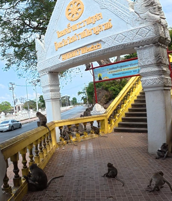
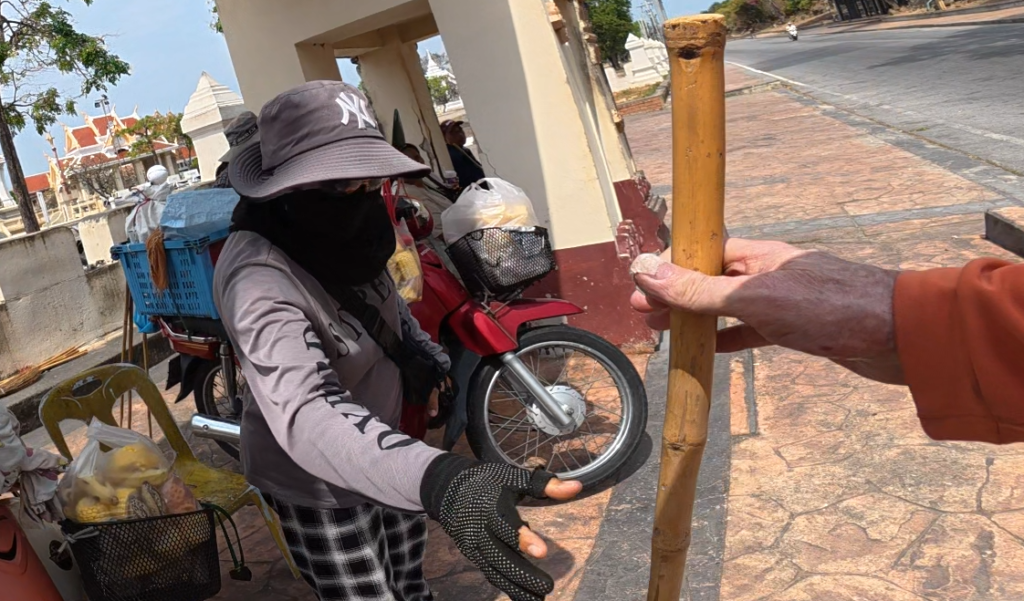
It’s very high up and the number of steps is considerable! The stairs are filled with monkeys and before starting the climb I “rented” a bamboo stick from a lady across the road to stomp on the ground to ensure the monkeys didn’t get too chummy.
I stopped several times on the way up to catch my breath and talk to other climbers. In the blazing sunshine and the 30c temperature I was exhausted but felt great that I was still able to accomplish this tough climb. Phew!
Hat Yai
After four nights in Khiri Khan I started on my trip back to Singapore and the first stop would be Hat Yai, a border town in the south of Thailand, about 80km from the Malaysian border. It’s the fourth largest city in Thailand with 200,000 people.
The road from Khiri Khan to Hat Yai is the major highway from Bangkok, road number 4. It’s a dual carriage road so should be a good and safe road, no? The problem is that the road goes through towns and villages and there is very little, or no, separation between the road and the people living close to the road, there are also U-turns every kilometer and quite a lot of traffic lights with very little warning or reduction in speed limit. With large trucks plying the road in combination with slow local traffic, you must always be fully concentrated so it’s quite a tiring ride.
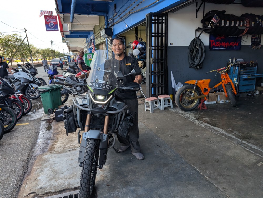
I started around 7 am and arrived around 4 pm at my hotel in Hat Yai. It was a long day in the hot sun and dusty road! At one stop along the way a guy asked me about my motorcycle, he hadn’t seen the Cfmoto brand before, so we started talking and I immediately recognized his norwegian english accent. After that we switched to swedish and norwegian and he told me scandinavia this time of year was horrible and that he spends the wintermonths in Thailand. He had a Thai spouse and they were on the way from her Hua Hin place to see her parents in Phattalung. Interesting the conversations you have when you’re on a bike and on your own!
I was knackered after the 8 hour ride but had enough energy to walk around town. Being a border town, with lots of Malaysians coming to visit, there are a lot of street vendors of clothing and often copies of famous brands of varying quality. However, some items are great, and shirts I bought 15 years ago here I still use! The town is a bit of a party town with quite a few bars and clubs. There are also a lot of massage places, feet and body as well as more seedy ones.
I was looking for a place to eat and found a nice street vendor, where I had a nice pork mince dish with rice. Deliciuous!
Kuala Lumpur
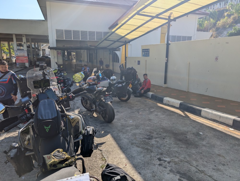
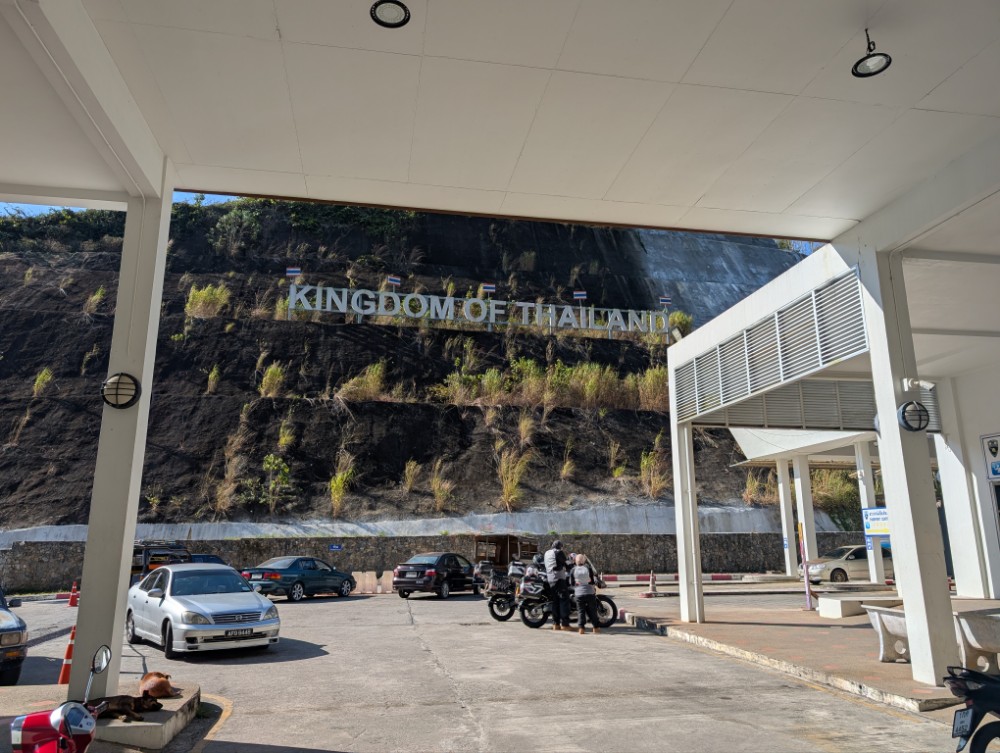
After a pretty good nights sleep I got up early and was on my way to the border by 7. Google maps led me through small backroads to get out of town and then back to road 4 towards the border. The road goes through several rubber tree plantations and small towns and after 80 kms reaches the border town of Sadao.
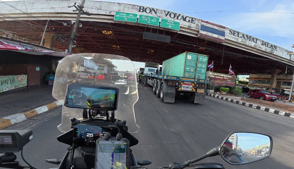
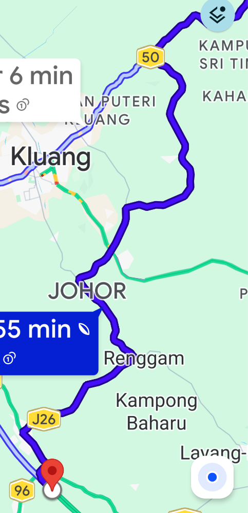
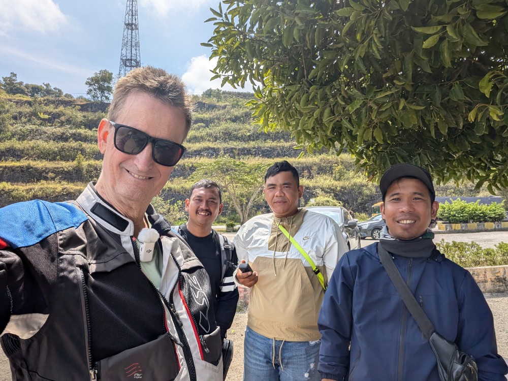
Border formalities are very quick early in the morning at this border and in less than half an hour I am in Malaysia where I stop and chat to a group of Malaysian riders and we have quite a long chat before I get going. The North-South Highway is a “proper” and very well maintained motorway and it’s easy to keep a constant good speed with the only snag being some queues in the GeorgeTown area. Once I hit Kuala Lumpur Google Maps leads me on a convoluted route to my hotel but I finally get there at 4pm.
Singapore
Next morning I’m up early, again, and after breakfast I quickly get going to beat the morning traffic. Again, Google Maps leads me on a very circuitous route to get on the highway, although I’m fairly familiar with the road layout, I don’t feel confident enough to disregard the app. Once I get close to the highway there is a complete stop with a very long queue, I manage to manouver pretty close to the front and see several police motorcycles blocking the highway entrance road. After some time there is a procession of government looking cars speeding along the highway and after a while the entrance road is opened. I see later on the news that the indian primeminister, Modi, is visiting, so perhaps the procession was taking him somewhere.
As I stop to refuel I encounter swarms of small motorcycles, revving their engines and being a nuisance in general. Later, on the highway, swarms of 15 of these bikes come past me with minimum space to spare, they’re doing 130 kph and leave a smell of burnt fuel, perhaps even methanol. They swarm the highway overtaking on the left or right of vehicles with nothing more than a few meters between themselves. They then slow down and after a while repeat the process. I read there is a subculture called “Rempit” and a quote from Google says:
“Mat Rempit refers to young, predominantly male, street motorcycle racers in Malaysia who engage in illegal, dangerous, behaviors in urban areas, typically on weekends. Associated with modified, noisy, underpowered bikes, these groups engage in stunts like the “superman” causing significant public disorder, vandalism, and safety hazards.”
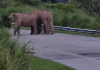
After a long stretch they disappear and I feel safe again! I reach the border around noon and, although, there is a big line of cars waiting for passport clearance, for motorcycles there is no queue.
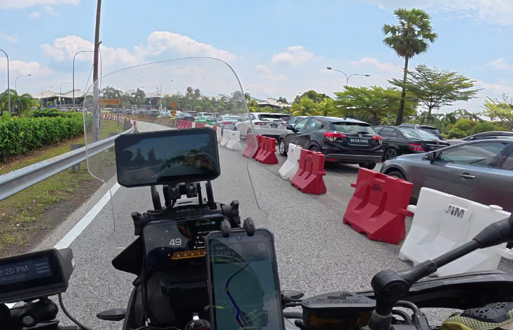
Cars queue for Malaysian passport control
After a speedy Singapore clearance I reach home in half an hour.
As I think back on my trip and close to 4000 kms, I feel I had a very relaxing trip with no bad incidents and many nice expriences. There is always some reluctance to start a trip and give up on comfortable home life but once I do go, I feel really great when I get back home and think about everything that happened on the trip.
So where do I go next?


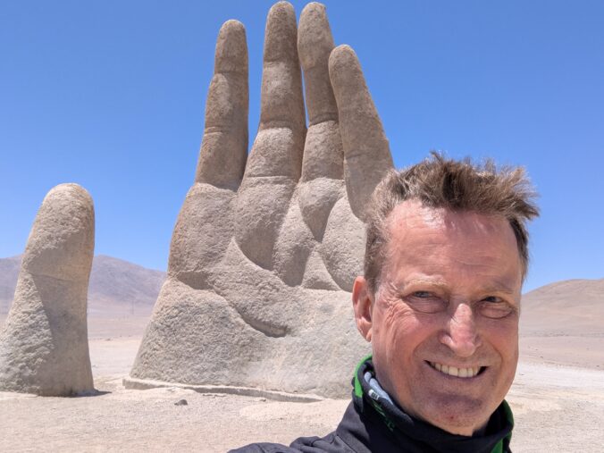


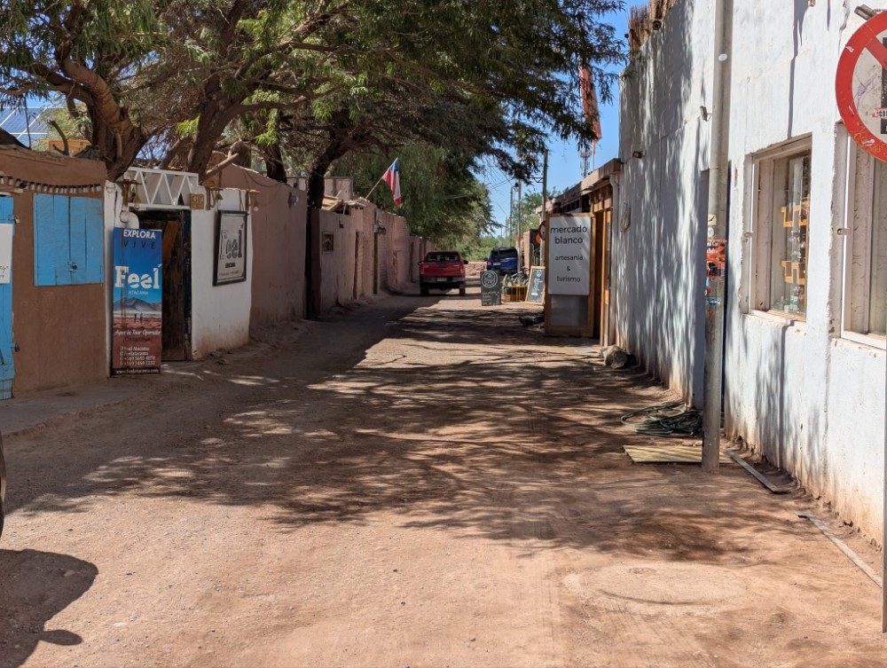
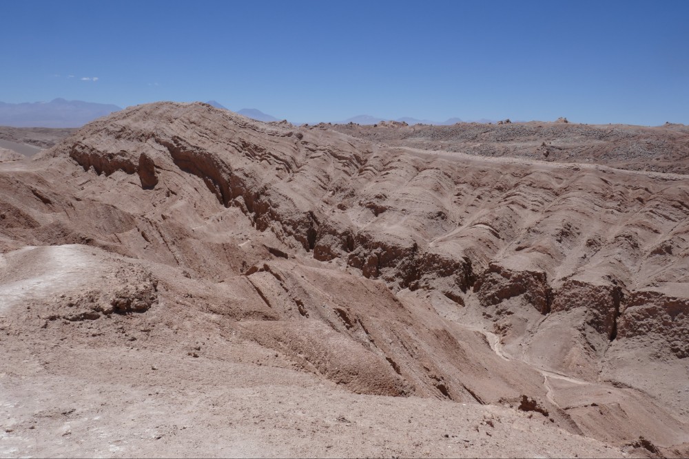

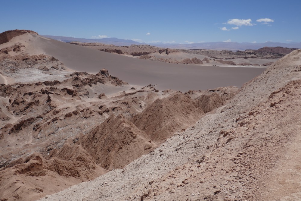
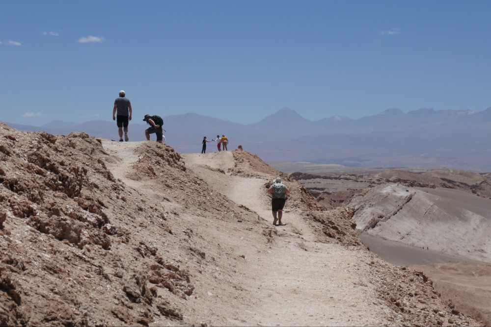


 As I walk around this and other towns I can’t help but notice streets and areas with the name “O’Higgins”. This doesn’t sound very Chilean or even Spanish so who was this man? It turns out that he is considered the father of independent Chile. He had Irish and Spanish ancestry and he was instrumental in freeing Chile from Spain in the early 1800s.


