Boten to Jinghong (261km)
We left a bit after 7 to get to the border with China at the opening time at 8. After getting out of Laos we were met at the Chinese border by the organizer, Jah. After an hour or two of border formalities we were in China! We stopped for a lovely lunch before continuing to the next city to finalize the formalities allowing us to drive our bikes in the country. This involves getting a Chinese driving license and having the bikes inspected.
The formalities were finished around 2 or 3 in the afternoon and we got on the highway to Jinghong, the goal for the day. The highway is new and beautifully constructed but at one point it was closed and we had to get off it and ride the old road which was very twisty so should be fun on a bike, however, with a lot of big trucks going very slowly and difficult to overtake it was pretty hard work. After 60km of the old road we were back on the highway and were soon in Jinghong.

Our intrepid leaders

Boten China border
It had been a long day and I was very tired by the end of it.
Jinghong to Kunming (530 km)
We stayed in a nice hotel and were offered a very nice spread for breakfast. The idea was to start at 8 and we were probably on the road about that time.
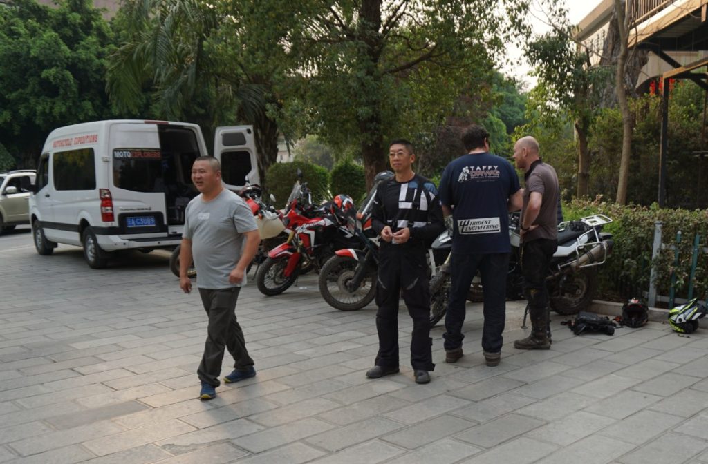
Morning preparations and chats before setting off
Getting in and out of the Chinese cities is not easy and luckily our guide knows his way around. The traffic seems very chaotic, much more so than other Asian countries where I’ve been riding and it seems like a minor miracle that people do not get hurt.
We stopped for lunch at the halfway point and, unfortunately, one of the guys lost his phone and after reviewing CCTV footage it turned out that someone nicked it and he had taken off, but they knew the culprits car registration. Wonder what will happen to him?
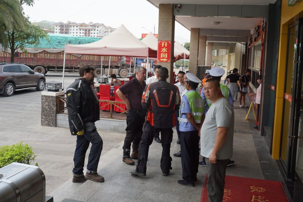
Discussions with the police reagarding the missing phpne
So after a lengthy delay we were on our ways again. The highway is beautiful ly constructed as it cuts its way through the very hilly country. There are a large number of viaducts and tunnels with sweeping turns in between – it’s a very nice road to navigate on a motorcycle. Along the way there were other, very, impressive constructions with huge viaducts being built.
We stop every so often to drink water and stretch our legs.
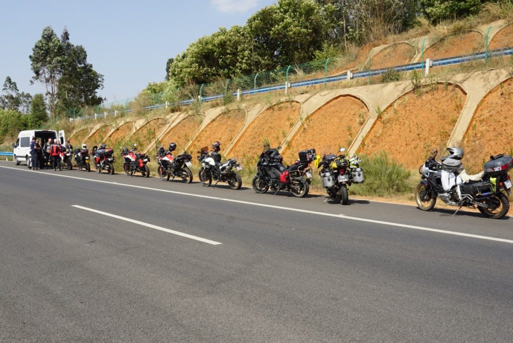
Water stop
We arrived at the Kunming hotel around 6.30 where we met additional adventurers joining the group.
Kunming to Linjiang (500km)
Another group of 5 people joined us so we are all together 14 bikes. This took some time to organize and then one guy had a scare thinking he’d lost his passport delaying us by close to an hour. He re-traced his walk to and fro the bank and finally figured out h’ed put it in a hidden pocket in his jacket. Without passport would probably mean aborting the trip plus having a lot of problems getting out of the country. So everyone drew a sigh of relief once it was found.
All this meant we didn’t get on the road until after 11 and we had a long way to go. On the way we we’re stopped at a roadblock because of an accident further along the road and it was quite a gathering of people with the locals wanting pictures of the bikers, a bit like we were from another planet. After half an hour the policeman let us go so we had the entire road to ourselves for quite some time. When we reached the accident it was a relatively small one and I can’t understand why the whole road was blocked for that.
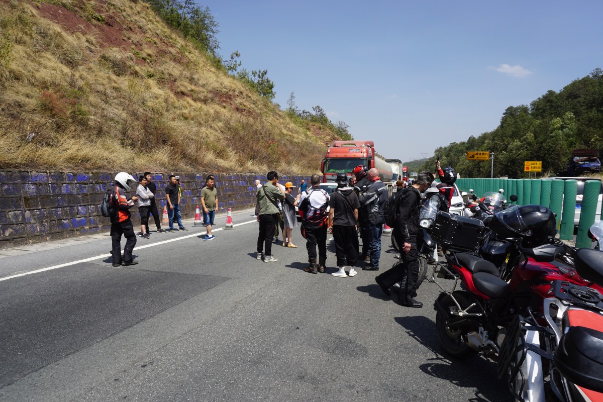
Road block gathering
We arrived in the beautiful town of Linjiang after 6 some time and stayed in the old part of town which a a pedestrian precinct with cobblestone streets and old buildings – very nice! However, since we were so late there was no time to explore the town and I was very tired so after dinner I went back to the hotel and bed.
Linjian old town

Our hotel – very nice!
Linjiang to Shangri La (270 km)
Today was the first day we’d traverse a mountain pass and on the way admire the Tiger Leaping Gorge. After the first stop there was a bit of a problem and some guys, including me, got lost. It took some time to gather the group back together again and then we set off for the Gorge. It’s pretty amazing scenery with tall mountains surrounding it.
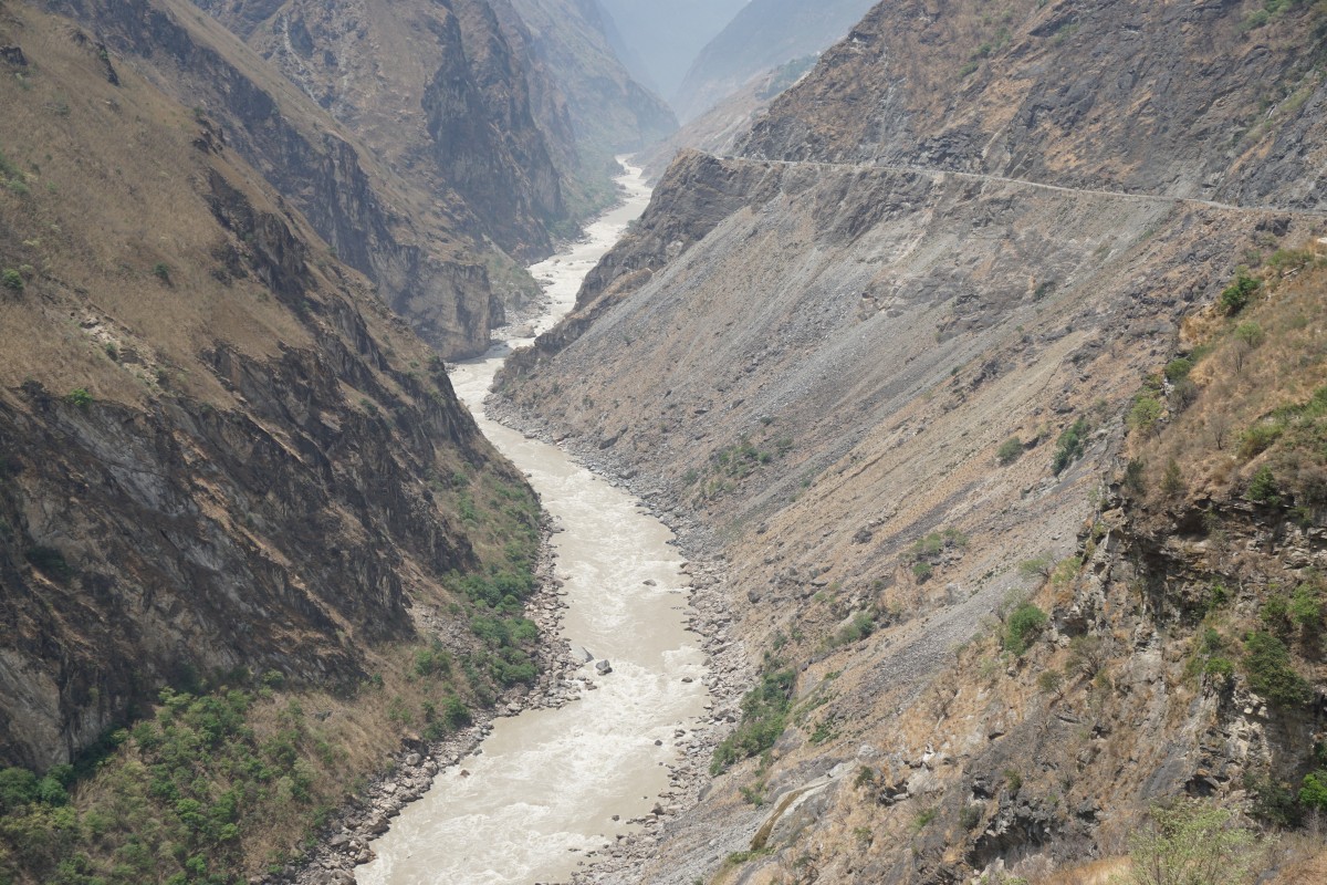
The Yangtze river in all it’s might flows at the bottom of the gorge.
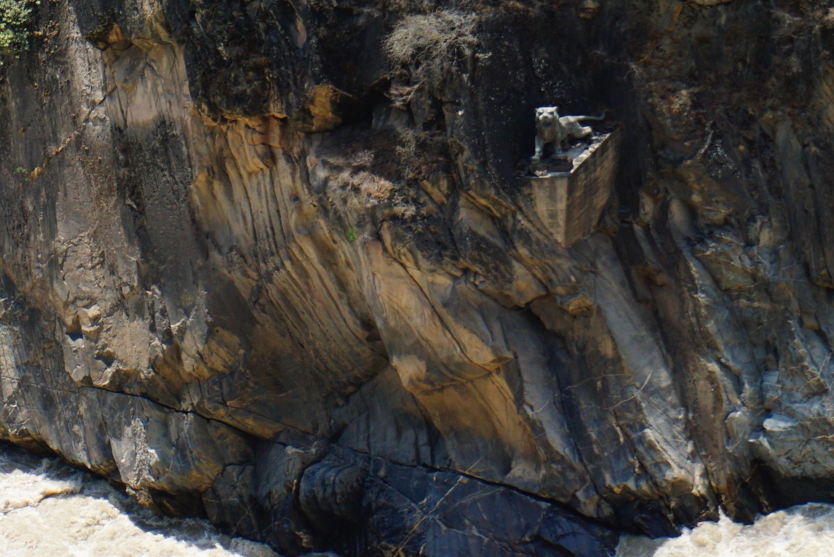
The leaping tiger.
After admiring the gorge we had some nice twisty roads for 150 km reaching an elevation of 3800 m. The temperature also dropped to 10C and it felt pretty cold after the days of extremely hot riding conditions.
Shangri La to Guibading (190 km)
Today was a fairly short ride so we set off from Shangri La a bit later. On the way we stopped at a monastery and listen in on the service for a while. The buildings are set nicely on the mountain side.

By the entrance to the inner court yard of the monastery

Monks out in the courtyard after (or in between) services.

Rather than following the new main road which goes by a tunnel through the mountain we took the old road which goes over the pass at close to 4300m. The road is not well maintained so there were several places of dirt-road and stream crossings as well as rock-fall for most of the way. Some of the stretches were pretty rough so I got to practice my off-road riding skills which is nice and I’m getting more confident when not having full control of where the bike is going.
The lads having a laugh at the peak of today’s ride.
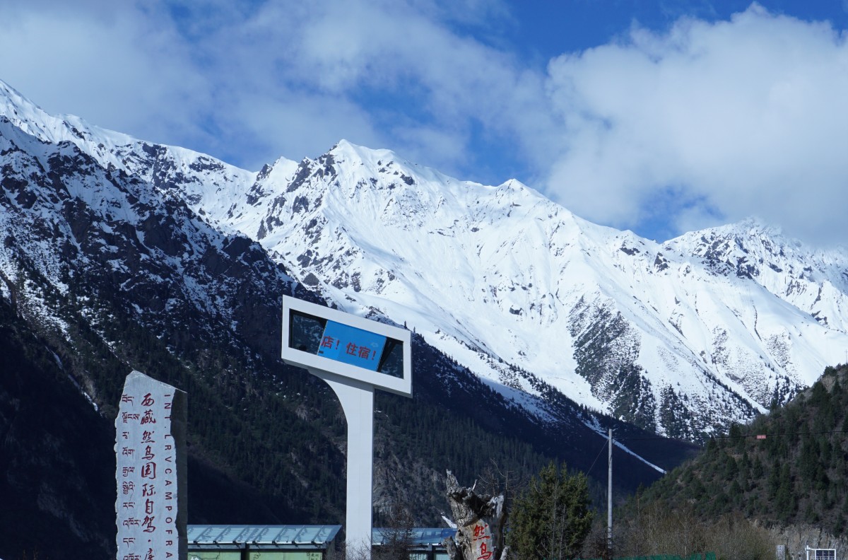
We’re now at the foothills of the Himalayas and tonight we’re staying at an elevation of around 3500 m and I can see the snow covered mountains from my hotel window.

Guibading to Zogang and into Tibet (380 km) Total distance 5164 km
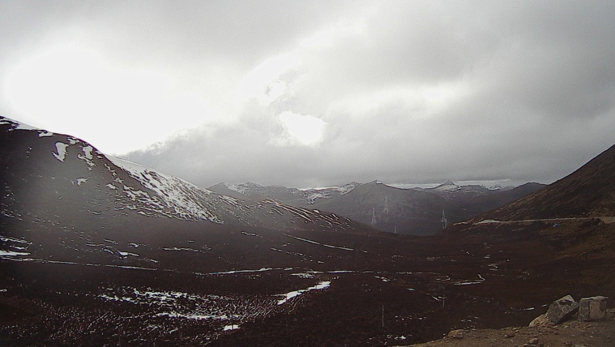
We had an early start – this was going to be a long day. Some of the people in the group love roads that are not so good and today they were very happy. The road quality leaves a lot to be desired with a lot of gravel and ruts. We traversed two high passes with the 2nd one being above 5000m. It was getting late in the afternoon by the time we got there and it was rather cold so we quickly descended and reached the hotel at seven. It was indeed a long day.
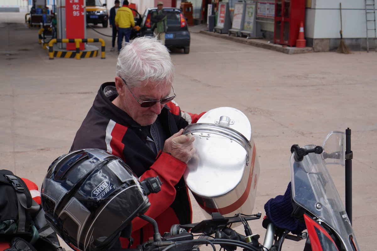
Filling up the tank in Tibet
The pace is rather relentless with long days in the saddle, late dinners and early mornings. It is starting to not feel like a vacation but a grueling test of stamina. I did not have this in mind when I signed up :-(. The original itinerary included more rest days and some shorter riding days. However, I think there will be more rest days once we get to Lhasa.
Zogang to Ranwo (180 km)
We had our first puncture today! The wheel had an inner tube and to replace this the wheel had to come off and since the service van had a tire we fit both a new tire and inner tube. This took at least an hour but we had stopped at a sunny meadow with yaks eating of the grass. Quite serene really.
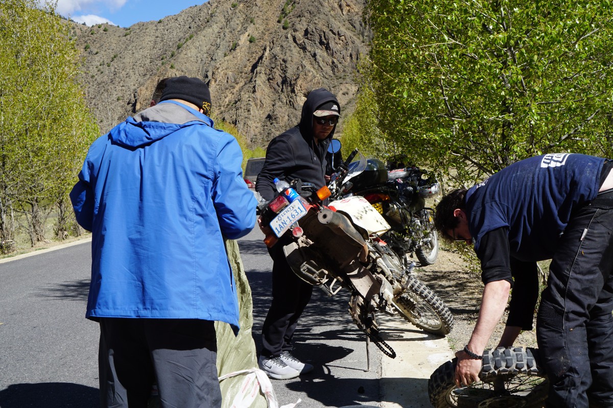
Puncture repair
Once done we continued to lunch and then climbed up to above 4000 m. Beautiful scenery for most of the day.


Ranwo to Bayi (360 km)
This was another long day and I had no energy to update these pages and now a few days later I have a hard time remembering what went on during this ride… However, there was some nice mountainous scenery with wooded passages.


Bayi to Lhasa (400 km) Total distance 6255 km
A nice ride on undulating roads with good asphalt. Along the road we see a lot of Tibetan pilgrims on the way to the holy city of Lhasa. Many of them cycle, some walk while the most arduous walk a few steps (the length of their body) then lie and kiss the ground before repeating the process. There was risk of rain at one point and we stopped to don rain gear but it turned out to be false alarm since very little rain actually came down.

Morning sun on mountain lake

Snow covered mountain all around

There are yaks everywhere along the road and you must be prepared to stop at any time.
Highest point on today’s ride at 4900 m.
Since entering China in Mohan we first went due north until we reached the kink and since then pretty much due west. The map shows the route through China so far.

So we’re now due north of Bhutan and tomorrow we’ll continue our westward journey towards Mount Everest base camp. Since entering China I have traveled 3200 km which is more than half the total distance through the country. Lhasa is around 29 degrees north while the endpoint of London is at 51 degrees which means I’ve come more than half way north from SIngapore.
Lhasa
Today is a day off the bike and we spent several hours at the Potala palace. From wikipedia:
“The Potala Palace in Lhasa, Tibet Autonomous Region, China was the residence of the Dalai Lama until the 14th Dalai Lama fled to India during the 1959 Chinese invasion. It is now a museum and World Heritage Site.”
The palace is huge covering an area of 400×300 m.

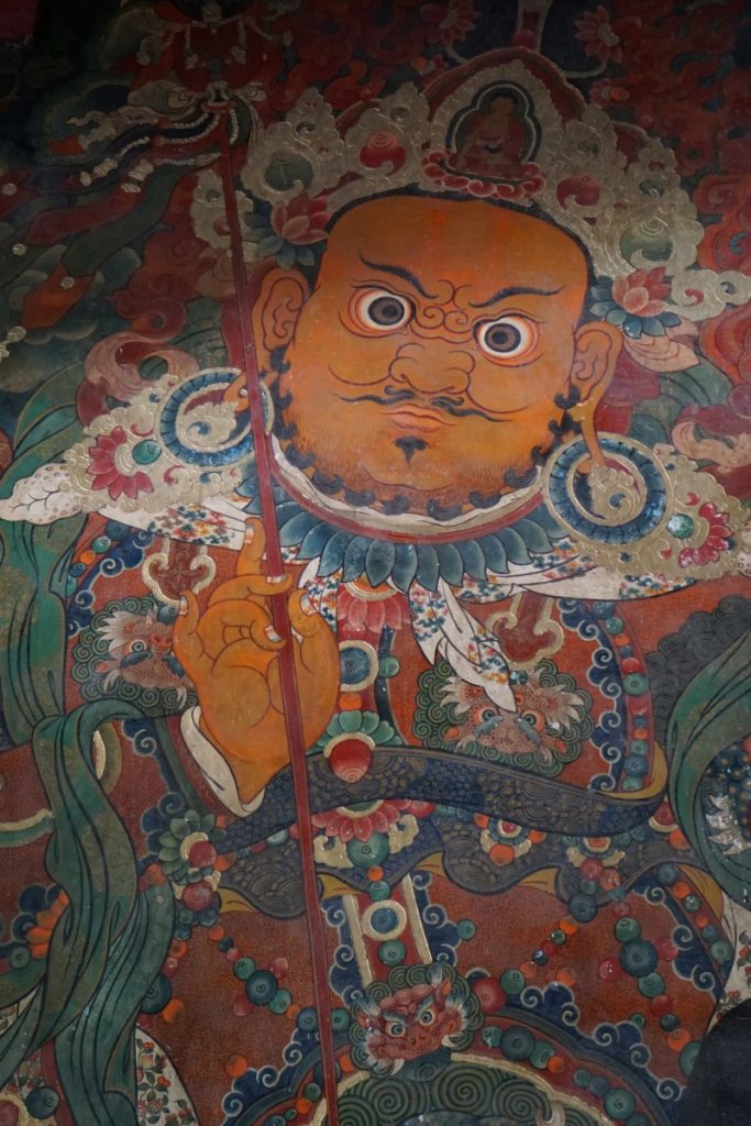
Part of tapestry as we entered into the palace.
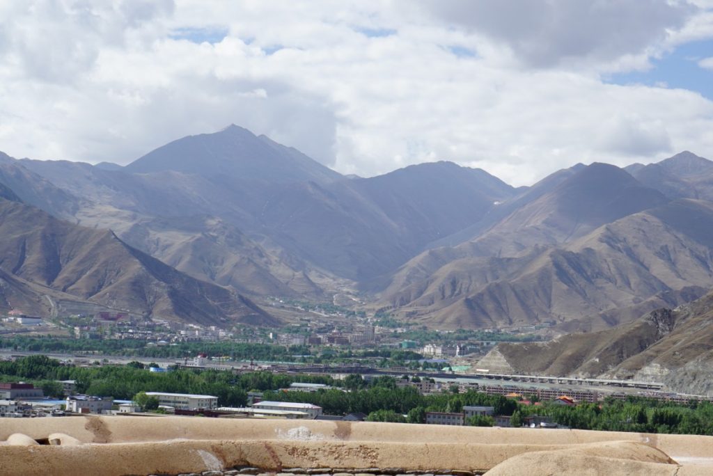
Lhasa is surrounded by mountains and the views from the palace is spectacular.
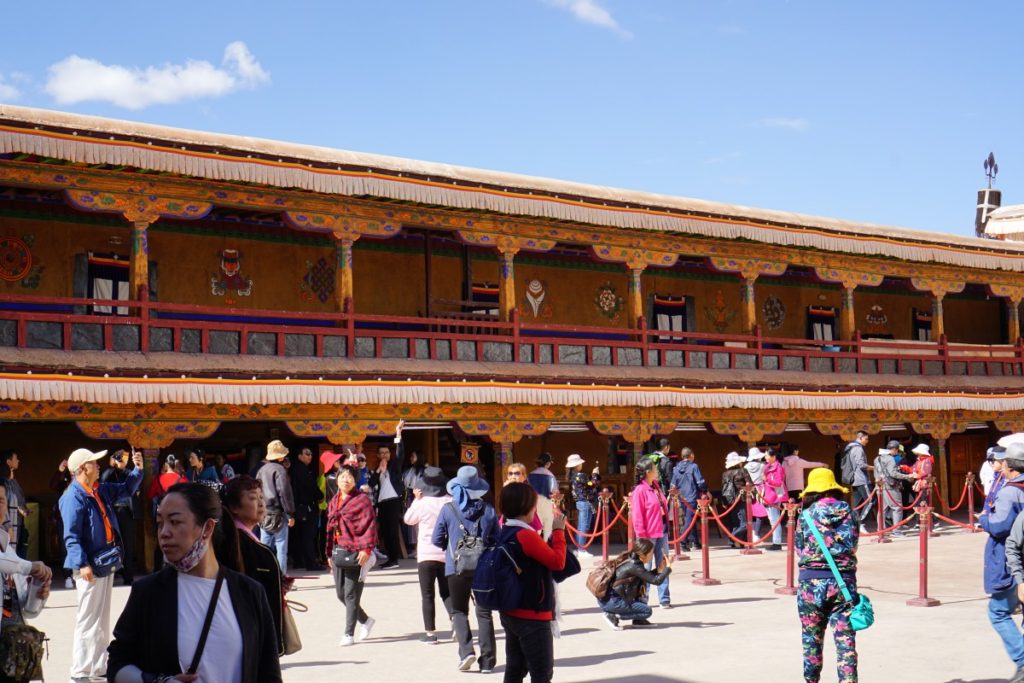
Court yard at the top of the palace before entering the inside.

Blimey! That’s an adventure alright! My map hand is twitching so you never know I might catch you up soon . . .
Yo Carl – how about a map that shows the route?
Good point. Not sure how to do it with everything Google banned. I tried Bing as well, no joy. Suggestions?
In china ppl use baidu. Can you try baidu map?
Woohoo! The mountains look awesome! Re routes, not sure if you can download Maps.me or Pocket World to your phone. Either should work offline with routing, then you can take screenshots . . .
More pic, please. 🙂
Perfect! The map to make me jealous . . .
Great details and wonderful pictures. Travel save.